In 1859, at Silchar in the Barak valley, a young British officer watched a game he had never seen before. Manipuri riders in turbans and dhotis, mounted on small, unshod ponies, chased a ball of bamboo root across a field and struck it with long cane sticks. Lieutenant Joseph Sherer, together with a handful of tea planters and officials, took up the game and founded a club to play it. Within a generation, sagol kangjei had become polo, played in Calcutta, codified in London and exported across the empire.
The story is usually told as a curiosity, a footnote in the history of sport. It is better read as a clue. The game reached the world because Manipuris were already on the move along an old road: the western track that runs from Imphal over the hills to Cachar and Sylhet. Many of the riders at Silchar were refugees or the descendants of refugees, driven from their valley by war. That road, and its twin running east to the Chindwin, explain more about Manipur than almost anything else.
A valley on a watershed
Look at a map. Between the plains of Bengal and the river valleys of Burma lies a ring of forested hills, and inside it a single wide, fertile plain of roughly 2,000 square kilometres, with the great shallow lake of Loktak at its southern end. The valley is small, perhaps a tenth of the modern state, but for most of recorded history it held most of Manipur’s people, its capital and its kings.
The valley also sits on a watershed. Its rivers drain south through the Manipur River into Burma, joining the Chindwin and finally the Irrawaddy. The Barak, rising in the hills to the North, flows the other way, out through Cachar, Sylhet and the Bengal delta. Water falling on Imphal reaches the sea through Southeast Asia; water falling a few days’ walk to the west reaches it through South Asia.
Four routes led out of the valley: east over the hills to the Kabaw valley and the Chindwin, west to the Barak, north through the Naga hills to the Brahmaputra, and south along the river gorge. Caravans and armies moved in the dry months, from November to April. And in the middle of the crossing lay something rare in those mountains: a rice bowl large enough to feed travellers, soldiers and a royal court.
An old road
The road is older than the kingdom. Around 122 BCE the Han envoy Zhang Qian told his emperor that he had seen Sichuan cloth and bamboo staves in the markets of Bactria, in today’s Afghanistan, and that merchants there said they had bought them in India. A road, he reasoned, must run south from China to the Indian world. Later Chinese geographers described it in detail. Tang-era itineraries trace a route from Yunnan through Upper Burma that crosses the Chindwin on its way to India, and the Burma historian Gordon Luce argued that it passed through the Kabaw valley, at Manipur’s eastern door.
Other scholars place the crossing further north, and archaeology has yet to settle the question. But the earliest finds from Manipur’s hills already point outward. Stone tools from caves such as Khangkhui in Ukhrul and Tharon in Tamenglong resemble those of mainland Southeast Asia, and Neolithic pottery from the valley’s edge has close parallels in southern China and Thailand. Long before any chronicle was written, the valley’s people were connected to worlds beyond their hills.
Salt, ponies and cloth
The kingdom that grew in the valley lived by exchange. Its most precious local product was salt. Far from the sea, communities depended on brine wells, and in villages such as Ningel the brine was boiled down and pressed into flat cakes called thumpak. Kings rewarded warriors with salt cakes, and the wells came under royal control. Salt bound the valley to the hill villages around it, which traded cotton, timber, bamboo and forest produce in return. It was a relationship of mutual need, but not always of equals: one British administrator recorded how Manipuri rulers had once seized Naga salt wells and compelled nearby villages to work them.
The second treasure was the Manipuri pony, small, tough and fast. It was kept for sport, ritual and war, never as a beast of burden, and it made the kingdom’s cavalry feared across Upper Burma. The third was cloth, woven on household looms by the valley’s women, traded to the hills, given as tribute and worn in patterns that marked clan and occasion. Metals and silk came the other way, along the long-distance routes.
What the east brought
For centuries Manipur’s closest partners lay to the east. The royal chronicle, the Cheitharol Kumbaba, remembers the Shan kingdom of Pong as an ancient ally. In the late fifteenth century King Kiyamba and the king of Pong jointly conquered principalities in the Kabaw valley and divided them between them. Princesses travelled between Imphal and the Burmese capital at Ava, with retinues of attendants and craftsmen, and captives moved in both directions after every raid. In its statecraft, its marriage diplomacy and its cavalry warfare, the Meitei kingdom belonged to the Tai and Burmese world.
The eastern road reached even further. Under Khagemba (1597–1652), remembered as the “conqueror of the Chinese”, Chinese captives are credited with teaching the Meitei to make bricks. In 1632 a brick wall rose at the western gate of the Kangla, the royal citadel, and the Chinese word for brick passed into Meiteilon. Tradition holds that the great guardian dragons of the Kangla, the Kangla Sha, were first made by Chinese hands, though they carried a Meitei meaning: the dragon was the emblem of the royal clan.
What the west brought
The western road carried different gifts. In 1606 Khagemba’s brother Sanongba tried to seize the throne with allies from Cachar and Bengal, including a contingent of Muslim soldiers. The rebellion failed, but Khagemba let the soldiers stay. They married Meitei women, spoke Meiteilon, received Meitei-style lineage names and were given a qazi to administer their own law. Their descendants are the Meitei Pangal, Muslims whose mother tongue is Meitei. When Manipur became a full state in 1972, its first chief minister, Mohammed Alimuddin, came from this community.
A century after the Pangal arrived, preachers from Sylhet brought Gaudiya Vaishnavism to the court. King Charairongba took the sacred thread in 1704, and his son Pamheiba, known as Garib Niwaz, made Vaishnavism the state religion. The change had a political edge: a Hindu court stood apart from the Buddhist kings of Burma whom Garib Niwaz was raiding. It also had a cost. The Bengali script displaced Meitei Mayek, and Meitei memory holds that many sacred manuscripts were burned.
Yet what emerged was not simply Bengali. In 1779 Garib Niwaz’s grandson Bhagyachandra staged the Ras Lila before the image of Govindaji. Its theme, the love of Krishna and the cowherd women, came from Bengal. Its gentle, circling movement came from the older Lai Haraoba dances of the Meitei priestesses. Manipuri classical dance was born at the meeting of the two.
Women at the centre
The roads shaped Manipuri society in less obvious ways too. Under the lallup system, men owed the state long periods of service in war and public works, and they were often far from home. Women ran the household economy and the trade of the valley. Their market at Khwairamband grew into Ima Keithel, the Mothers’ Market, still run entirely by women. British observers noted with surprise that Meitei women conducted most of the valley’s commerce, a pattern far more familiar in Burma and Thailand than in Bengal. In 1904 and again in 1939, the women of the market led the protests remembered as Nupi Lan, the Women’s War.
The road of armies
Routes that carry gifts also carry armies. Garib Niwaz’s cavalry crossed the Kabaw valley and raided as far as Sagaing, opposite Ava on the Irrawaddy. Then Burma recovered under a new dynasty and struck back. Alaungpaya invaded in 1758, his son Hsinbyushin in 1764, and from 1819 to 1826 the Burmese occupied the valley. Manipuris remember those years as the Chahi Taret Khuntakpa, the Seven Years Devastation, when the population came close to collapse.
Even catastrophe moved culture. Thousands of captives were settled around Ava, where Manipuri horsemen formed the Cassay Horse cavalry and Manipuri Brahmins served at the Burmese court. Thousands more fled west to Cachar, Sylhet and Tripura, taking their dance, their devotional songs and their game of polo with them. That is how sagol kangjei came to be played at Silchar.
The Treaty of Yandabo in 1826 restored the kingdom under British protection, and in 1834 the British handed the Kabaw valley back to Burma, closing the eastern door. In 1891, after a palace dispute, British columns marched on Imphal from the north, the west and the east, along the very roads this history has followed. Prince Tikendrajit was hanged at the polo ground, and Manipur became a princely state.
What endured
What makes Manipur distinct is not any single import but the way it took them in. The court chose what to adopt and fitted newcomers into its own framework of clan and lineage. Beneath every layer, the older order survived. Households still keep a shrine to Sanamahi. The Lai Haraoba is still danced. Meitei Mayek, set aside for two centuries, has returned to schools and signboards. The result is a culture that belongs fully to neither South nor Southeast Asia, and draws on both.
The crossroads today
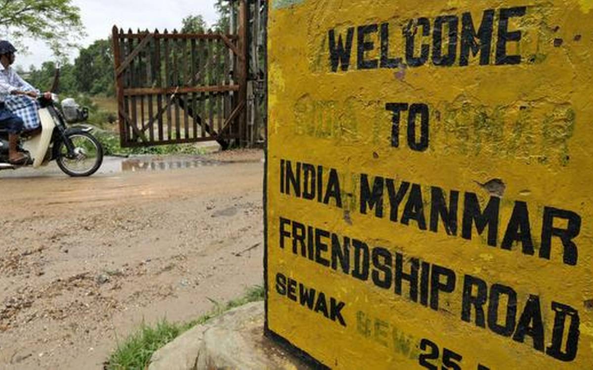
The old eastern road through Moreh and Tamu is spoken of again as a gateway, now under India’s Act East policy, with highways and trade corridors planned toward Myanmar and beyond. It is worth remembering what the road once taught. The valley prospered when it absorbed difference, made room for newcomers and kept exchange flowing between valley and hill. It suffered when the road brought only armies. At a time when Manipur’s communities are under strain, that history is less a comfort than a reminder: the capacity to live at a crossroads has never come automatically. It has always had to be made, and made again.

The writer is a former Member of Parliament and a former Union Minister of State External Affairs and Education, Government of India.