
Human Settlement Patterns and Politics of Cartography
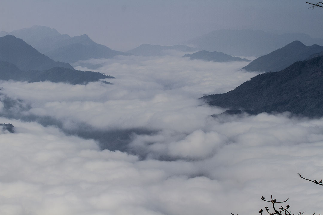
When the earth was born some four and half billions years ago, there was no life on it. Only when the oceans were formed shortly afterwards, living beings began to appear in the form of the microbes in those water bodies. Even today, the entirety of the earth does not support life; only a portion of it — the biosphere, enables life to exist. And the life forms differ in different parts of the biosphere. Thus, not only the aquatic and the terrestrial animals are different because of their respective habitats, diverse, geographical regions are also marked by different flora and fauna. What do these familiar facts speak of? The answer is elementary: There are habitable and unhabitable areas, and different inhabitable regions shape different ecological systems. A similar logic also operates in the evolution of Manipur as a geo-political entity. In other words, the organic integrity — the geological and geographical characteristics — of the present day state of Manipur (see, Part 1 & 2) has shaped the evolution of the nature of human settlement and corresponding forms of life, including its polity.
Roots of Origin Myths and Koubru
Archaeological studies have found human settlements in the state since the pre-historic times. Various Paleolithic (Old Stone Age) and Neolithic (New Stone Age) sites have been discovered in various parts of the state. Much of the Paleolithic sites are found in the hills while Neolithic sites are found both in the hills and the valleys. These discoveries suggest that human settlements in the hills are relatively older than those in the lower regions (e.g., the oval-shaped valley). In other words, the trajectory of human settlement in the present day Manipur started from the hills, then to the foothills, and subsequently to the valleys.
This does not come as a surprise. Geologists have noted that the oval-shaped valley has fluvial and lacustrine origin. This would mean that much of the areas in this part of the state must have been under water in the past. And over thousands of years, due to the erosion of the soil and deposition of sediments, the area grew in size and flatness. In fact, the process is still going on in this oval-shaped valley with many of its wetlands are gradually shrinking or disappearing. This geological/geographical transformation dictate the patterns of human settlement. Thus, as some archeologists have suggested, the initial human settlement in the oval shaped valley were expectedly around the periphery, near the foothills. However, as the area got expanded, human settlement also moved further inwards, towards the inner regions or the centre of this valley. Going by some of these archeologists, Neolithic people must have settled in this central valley as early as 2000 BC.
These processes — namely, the patterns of human settlement, must have arguably imprinted in the various legends, mythologies, folklores, origin myths etc of the people in the state. That the Meiteis hold Mt Koubru as a sacred site connected with their “origin” is one example. That the origin myths around Koubru also talks about the “common origin” of the people in the hills and the valleys of Manipur alludes to an organic link amongst the indigenous denizens of the state. Indeed, not only the Meiteis, the other communities such as Liangmeis, Rongmeis/Kabuis etc also have narratives which not only depict similar trajectories and patterns of human settlement but also associated with Mt Koubru itself indicating consanguineal and affinal relationship amongst these communities (e.g., the Liangmeis and the Meiteis).
In short, these beliefs and practices, namely origin myths, folklores, legends etc are likely to be the allegories — rooted in memories — of the evolutionary and historical processes of the patterns of human settlement in this part of the world.
However, some of these communities have more or less abandoned the rituals associated with these myths and/or beliefs since their conversion to Christianity. However, the Meiteis, including those who have adopted “Hindusim” as their religion, have been holding on to these beliefs and practices for centuries. Indeed, irrespective of the religions they profess, the Meiteis in general still consider not only Koubru but also other sites in the hills (e.g., Nongmaiching, Thangjing etc) as scared and pay obeisance with reverence and religious/spiritual fervor, and pay visits to these sites to perform rituals. In that, the origin myths and associated practices are part of a living tradition of the Meitei community.
But why have some communities abandoned these beliefs and practices while some have not? One possible explanation has to do with the nature of the newly adopted religions and people’s experiences of the (accompanying) cultural diffusions. For instance, while Christianity is likely to reject such traditional beliefs and rituals as signs of paganism or heathen practices, often with the pejorative trappings, given its polytheistic impulses, “Hindusim” could not reject the old, traditional beliefs and practices, albeit there are instances of proselytizing and/or politically motivated appropriations. Thus, attitudes of the people towards their old traditions and belief systems are different amongst these new converts. While there are instances of people destroying traditional artifacts as one associated with paganism amongst some Christian converts, the Meiteis, by and large, follow their old faith as well as the new ones. In a way, they are quite like the Japanese who follow/practice a syncretic religio-cultural form which has elements from Shintoism as well as Buddhism.
Thus, many, if not majority, Meiteis worship deities of the “Hindu” pantheon like Lord Krishna with all the religious fervor, while simultaneously follow the traditional faith with the same devotion or dedication. That Meitei household has a place (inside the house) dedicated to “pre-Hindu” deities like Sanamahi, whom they worship or that they worship deities such as Umang Lais (a part of Lai Haraoba) are indications of their religio-cultural syncretism.
Besides, ancestor worship is an integral part of the living tradition of the Meiteis — most, if not all, family-clans (sageis) have temples dedicated to their sagei ancestors (family or clan ancestors) called Apokpa and religious rituals are performed in these temples even today. Koubru is, in a way, a part of that indigenous religio-cultural complex involving worship of ancestors. In short, despite their conversion to “Hindusim”, the Meiteis in general still hold Koubru with a deep sense of religiosity and/or spiritual-cultural sentiments. This will be known to most people who have lived long enough in the state.
Here, it must be reiterated that indigenous and traditional communities have the “spiritual right” to preserve, pursue and practice their indigenous faith and culture is a globally acknowledged right. Any modern legal or political regime must accommodate that right. Moreover, such origin myths are crucial to remind and reproduce the linkages and cognate characteristics amongst various communities in the state (and its neighbouring states) for them to strive for a harmonious and peaceful co-existence.
Therefore, while addressing the ongoing controversy over Mt. Koubru, these issues — namely, (a) the historicity of the patterns and trajectories of human settlement, (b) people’s beliefs and practices, particularly those associated with indigenous, living traditions, and people’s rights to pursue and practice the same, must be kept at the heart of the issue. In other words, any claim or counter-claim on the site must be resolved with reference to these two issues as the basic parameters.
However, this does not mean that one should lose sight of the other relevant issues. For instance, any effort to resolve the issue must also take into consideration the environmental concerns (e.g., deforestation) and the question of livelihood of the people, particularly those who reside around the site. In this regard, any issue or activity in pursuance of the declaration of the area, that includes Mt Koubru, as a “reserved forest” in 1968 (as per the Annual Administrative Report, 2018-2019, Department of Forest, Government of Manipur) must be judiciously addressed.
There is no gainsaying that the process of addressing the controversy must be based on a democratically and judiciously rooted consultative process. The state must ensure such a process before taking a call on the matter.
Here, it is crucial to note that the controversy over Koubru is not exclusively confined to people’s faiths and/or environmental concerns. This is notwithstanding the fact that Mt Koubru is considered a sacred site by many. Or, for that matter, there have been reported acts of desecrating religious artifacts and place of worship or planting religious symbol of Christianity (like the cross) right at the spot where the people have been worshiping and performing rituals based on their indigenous faith and traditions for centuries or some raising objection to those who are insisting on building a temple or some facilities for the devotees etc. at Mt Koubru. On the face of it, these events might give an impression that the contestation is that of a religious kind.
However, it must be reiterated that the contention is undoubtedly and critically founded upon the manufactured “hill-valley divide” which has come to haunt the state for decades. One must not lose sight of the fact that there is an underlying worldview that informs the controversy, that is, since Mt Koubru is in the hills and hence it’s a part of “tribal land”. Indeed, there has been this assertion that the recent decision of the Government of Manipur to declare Koubru as a protected site under the Manipur Ancient and Historical Monuments and Archaeological Sites and Remains Act (1976), therefore, is nothing more than a “majoritarian” move to “usurp tribal land”. In this sense, the controversy over Mt Koubru also entails us to look at the worldviews that breed and nurture the “hill-valley divide”.
“Hill-Valley Divide” and Politics of Cartography
The topographical misrepresentations that informed the “hill-valley divide” (see, Part 1 & 2) have been further amplified by certain narratives on the evolution and nature of the state and her people. More often than not, effort has been made to present the “State of Manipur” as an entity that confines to the oval-shaped valley only, and that too, only some portion of it (ironically, largely informed by the administrative divisions of the present state). This is the other side of presenting the valleys in the state in terms of a singularity as the valley (see, Part 1 & 2).
The attempts to represent “Manipur” to mean only the valley (meaning, only some portions of the oval-shaped valley) is often indicated in various cartographical representations of “homelands” (e.g., maps of “Kuki State” or “Greater Nagaland” or “Nagalim”). These maps, driven by political mobilizations based on (exclusivist) identities, accordingly leave out portions of the oval-shaped valley while engulfing or incorporating the hills and other valleys in the state. In that, these maps are by-products of the narratives that seek to disconnect or deny any link between the valley and the hills, which goes against the grains of organic integrity shaped by the geological/geographical realities and the forms of life thereof, including patterns and trajectories of human settlement in the state.
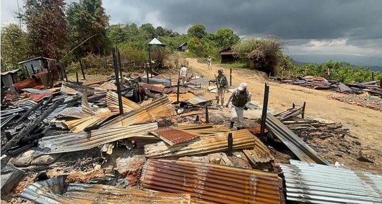
Incidentally, these maps also underscore an immediate and intimate contestation amongst those behind these cartographic representations, the mobilized identities, namely, the “Kukis” and “the Nagas”. For instance, the map of “Kuki State” incorporates areas which are also there in the “Greater Nagaland” or “Nagalim”. Unfortunately, the contestation of the cartographical politics refused to remain on the maps on paper or photographs. The overlapping territories communicated by these cartographies have been tragically painted with the bloods of innocent children, women and men in the so-called “Kuki-Naga clash” in 1990s. Despite the relative calm or truce between the warring groups, one can’t quite say that the contestation is over.
Quite obviously, these proposed maps also go against the reality of a cartography of a State (of the Union of India), representing a “territory” which the Constitutions of India declares in its First Schedule as having existed as a geo-political entity “before the commencement” of the Constitution itself. It defines the State of “Manipur” as “The territory which immediately before the commencement of this Constitution was being administered as if it were a Chief Commissioner’s Province under the name of Manipur.” That this “territory” refers to both the hills and the valleys that constitute the present state of Manipur is no illusion. To suggest, as some seem to indulge, that this “territory” only refers to the oval-shaped valley is nothing more than a delusion or an outright misinformation.
In fact, if one were to adopt a process of writing history, which historian Sanjay Subrahmanyam calls “regressive history”, one may ask exactly when did this “Manipur” come to be “administered” as a “Chief Commissioner’s Province”. The answer shall bring us to the notifications or orders issued by the then Government of the Dominion of India as well as their appointee, the Chief Commissioner of Manipur on 15th October, 1949 (one from New Delhi and another from Imphal). And that these orders or notifications were in pursuance of the controversial “Merger Agreement” which was extracted from the then Maharajah of Manipur on 21st September, 1949. Or that the state had a democratic transition wherein the people of the state became “citizens” rather than merely “subjects” just as the Maharajah became a nominal, constitutional head under the Manipur Constitution Act, 1947. Indeed, such an exercise will reveal that the state was existence much before any of the aforementioned identity based political mobilizations appeared on the horizon.
To be continued

The author is a social and political psychologist who teaches social psychology and sociology at the Jawaharlal Nehru University, New Delhi
1 thought on “Koubru Calling: Beyond the Twisted Lens of Colonial Modernity and Myopia of Competitive Politics – Part 3”
Thanks for imparting valuable knowledge to the future generations ,sir. Indeed you are a light brighter than the sun.
With love and regards
Nicholas kh.
T.U
Comments are closed.