The unfortunate tussle for ownership of the land on which stands the soon to be constructed National Sports University at Haraothel, has brought back into sharp focus the extremely sensitive nature of ethnic relationship in Manipur, and this too along multiple fault lines. If a resolution is to be hoped for, it needs also to be recognized that these ethnic frictions not only are numerous, but also exist at varying depths as sociological phenomena. Some of the causes are deep-rooted enough to qualify to be categorised as instinctual tribalistic distrust of anybody outside each’s own community, while others are derivatives of the British colonial administrative arrangements framed essentially to further the interests of the colonial government, but the structure of which are now internalised amongst the colony’s subjects, and crystalised further by successive generations, long after decolonisation. There are also of course important and nuanced issues of ethnic identity involved, and these need to be tackled sensitively but also sensibly. In the current indigeneity discourse, the dominant argument so far has been, these are issues existing in a parallel world, needing an alternate logic to explain or understand them. While this needs to be given due attention, what must also not be forgotten is that there has also been the tendency of these outlooks being turned into instruments for perpetuating certain extraordinary circumstances for the benefit of some, in the process generating on a continual basis, a sense of residual injustice amongst those excluded.
To take a simple but easily understood example to illustrate this, while there can be no argument the reservation policy which allows positive discrimination to uplift disadvantaged sections of the population was necessary and still is necessary, when this policy begins to be taken advantage of by already advantaged sections within those covered by the reservation policy, at some point, backlash can be expected from those on the other side of the fence. In fact, there have been powerful arguments in recent times that behind the Right Wing, and even Nazism, upsurge in many democracies in the present time, including prominently India, is the failure of the left, or socialistic leaning ideals of many democracies, to recalibrate these preferential treatments from time to time as previously existing inequalities get levelled out. As we have all seen amidst the rise and dominance of the Right Wing in India, there are even fears that the Preamble of the Constitution which declares India as a “Secular, Socialist, Democratic Republic” may get amended, and the words “Secular” and “Socialist” could be dropped from it. We are now beginning to see this politics playing out even in Manipur, which is all the more reason for this alert and call for introspection on the reasons for this seeming reversal of public perception of the sense of right and wrong, and to make amends wherever necessary.
Without going too far into the reservation issue, let us see where else such reversal of perception of “just” and “unjust” have happened in Manipur. In this, the Haraothel flare up should serve as an eye opener. How exactly did Manipur hill-valley divide come to be so precisely and univocally defined? Was it always like this? To the second question, the answer is pretty straightforward, for things were different even during the lifetime of those in senior years today. Even 50 years ago, even though an administrative division already existed, perceptions of territory and belonging amongst communities were different and flexible. The Nongmaiching Ching, the imposing mountain range visible from Imphal in the east, on the other side of which is the wedged valley where Andro village is located, was considered their own by all people settled in its vicinity. This included communities as far away as Wangkhei, who too depended on these hills for their supply of firewood and edible herbs and wild fruits such as, “pheija”, “heibong” and “heikru”. There were one or two Maring villages higher up on these ranges who were adept at making charcoal, and all shared the resources of these hills. All also had notions of their territories and each respected them too, but these were definitely not defined in terms of the hill-plain parameters as now. The idea of boundary was definitely not as we understand them now. They were notional rather than literal. Indeed, on a larger canvas, as Lord George Nathaniel Curzon in his Romanes lecture titled “Frontiers”, delivered in 1907 two years after retirement as Viceroy of India, noted, the idea of a demarcated and delineated boundary was alien outside of Europe, and one of the challenges before the British administration whenever they took over a place, was to draw boundaries. It can almost be said with a measure of irony that the boundary making challenges for the Europeans who colonised the native world, has translated into a new set of enduring problems for the natives they colonised, for the former made hard boundaries where there were only soft and malleable ones before them. These hard boundaries are known for even dividing people of similar ethnic stock between different nations.
As Curzon notes in the same lecture, the British in particularly were good in evolving different kinds of boundaries to suit their end. If some of these were meant to mark the limits of their jurisdiction, some were left deliberately ambiguous, as in the case of what they called Protectorate States such as Sikkim. In frontier management in British India, they also evolved the notion of “suzerainty” (not quite sovereigns, but not quite subjects either) and Tibet is where this principle reached its peak of sophistication. In the St. Peterburg Convention 1907, which Britain literally forced on a weakening Russia which only recently then suffered a humiliating naval defeat at the hands of rising Imperial Japan in 1905, Britain agreed not to interfere directly in Tibetan affairs but on condition that Russia or any other country would also not be allowed do so. If any of the parties is compelled by circumstance to negotiate with Tibet, it had to do so through a third party, in this case China, which at the time was weak and Britain feared the least. We now know that this ultimately worked against Britain’s interest when it came to demarcating India’s northern boundary, now known as the McMahon Line, during the Simla Conference of 1913-14.
There is yet another kind of boundary the British evolved, and these were internal. The best example of this was the “Inner Line” in Assam, introduced by the “Bengal Eastern Frontier Regulation 1873”. Assam was then their newly annexed territory after ousting the occupying forces of Burma and signing of the Treaty of Yandaboo 1826, and this new territory was merged with their province of Bengal. Assam became a separate chief commissioner’s province only in 1874, a year after the drawing of the “Inner Line”, but the new province also included the populous Bengali-dominated Sylhet, and we know the linguistic complications and frictions which became a legacy Assam inherited and is left to grapple with even to this day. The logic of the “Inner Line” was to separate the revenue plains of Assam from the non-revenue “wild” hills surrounding it. The revenue plains became their administered area, and although they claimed the territory beyond the “Inner Line”, these were their unadministered areas, looked after directly by the Governor or chief commissioner, as it were, which in most cases was about sending area domination military expeditions, using their newly created Assam Rifles, then known as Cachar Levy.
This strategy can be understood better if we take into consideration that in 1826 when Assam was taken over, it was not the British Crown, but a multi-national company called East India Company, whose sole motive, as with any company, was profit. Although by 1873, the British Crown had taken over Indian administration, the hangover from the East India Company’s driving logic remained. From history books we also now know that in 1919, by the Montague-Chelmsford Reforms, the territory beyond the “Inner Line” came to be classified as “Unadministered Areas” and left out of the evolving self-governance mechanism the British introduced in their provinces. By the Government of India Act, 1935, on the recommendation of the Simon Commission, these territories came to be designated into two categories. While most of it remained as “Excluded Areas” some like the Khasi Hills and Mikir Hills were upgraded to be “Partially Excluded Areas”. The “Excluded Areas” remained unrepresented as they were, while the “Partially Excluded Areas” (Khasi Hills and Mikir Hills) were given some representations in the provincial governments, but by nomination of the Governor and not direct election.
With this background in mind, let us look at the British land administration in Manipur, after taking over the Princely State in 1891. Here too, they adopted the administrative architecture which worked for them in Assam, and separated the revenue from the non-revenue lands. This again can best be understood if we were to imagine a multinational company like Sony or Apple deciding to come into Manipur in a big way. They would also most likely want to, in their own ways, separate their potential revenue areas from the non-revenue areas, and proceed establishing their presence accordingly. At the end of the Anglo-Manipuri War in 1891, the British ousted the Kartik bloodline of Manipur royals who they saw as rebellious, hanging some of the princes and sending others on exile to Andaman Islands. In their place, they installed someone from Narasing bloodline. The person eligible, Prince Churachand, was only six years old at the time, so the British administration under Lt. Col. Maxwell, who was the Political Agent (equivalent of Governor), acted as his regent to run the affairs of the state. When the prince, who the British groomed at Mayo College, attained adulthood, the Manipur administration was handed over to him in 1907 while Col. John Shakespear was the Political Agent. The Manipur Darbar was reconstituted under British patronage, and the Political Agent, in time came to be designated as the President Manipur State Darbar, PMSD, overseeing the colonial administration as a provincial Governor would. The “Inner Line” system was not introduced in Manipur, however as in Assam where the hills beyond the “Inner Line” were left unadministered under the broad gaze of the Governor, here too the hills were left under the broad gaze of the PMSD while the revenue plains became the administered areas. This arrangement is what has come to crystalise now, and treated by some as if the hard division between anything hilly and the plains of the valley is a natural condition which existed from time immemorial.
Haraothel case is a reminder that deconstructing this narrative to soften these colonial era boundaries is now essential. Otherwise, the growing sense of disenchantment, especially amongst those in the valley, can very well lead to similar Right Wing extreme nationalistic backlashes we have been witnessing in much of what were once cited as shining examples of democratic order, causing further frictions and disorder in this already beleaguered state. In fact, there are already some signs of this backlash surfacing.

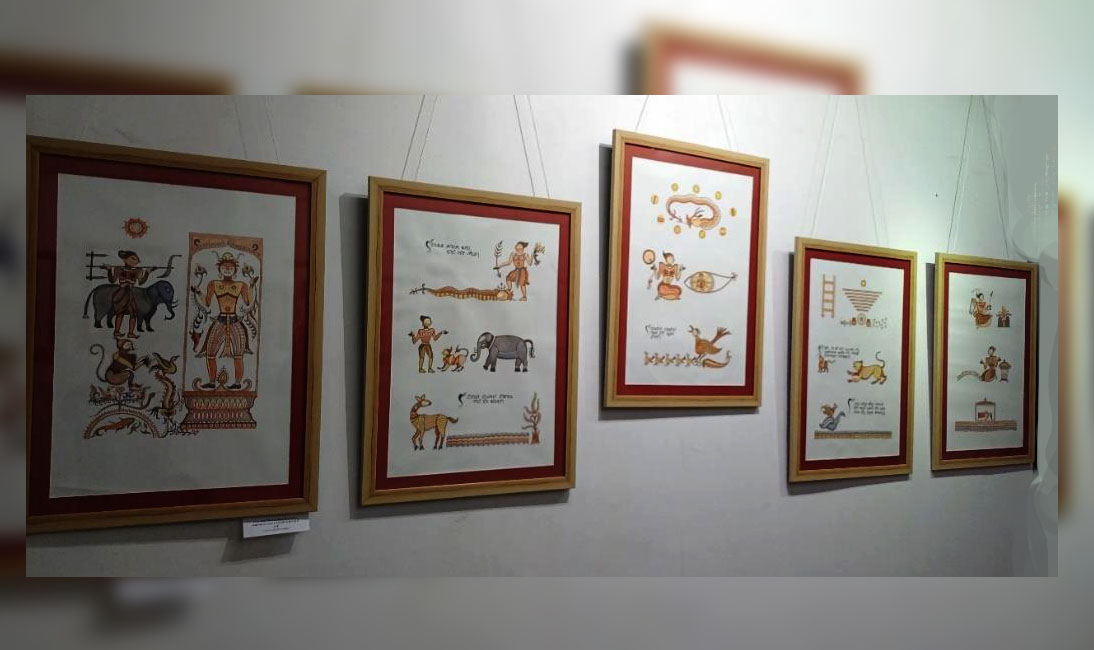
Extinction to Exhibition: Re-Interpretation of the Subika Art of Manipur
“I am satisfied with the success of this exhibition, which drew more than one thousand visitors, many of whom were previously unaware of the indigenous


